Right Click
Right-clicking anywhere on the map canvas opens a contextual menu whose available events and actions depend on the area you click. Options that are not available for the selected location appear grayed out.
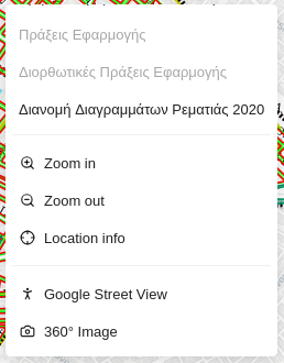
Events
Selecting an event opens a modal window whose contents are configured by the administrators of the application. Each event modal presents its information using one of two visualization types: List or Collapse.
List
The List visualization displays a map at the top of the modal, followed by sections of information below it. Each section acts as a category that groups related attributes together. Within a category, the attribute name is shown on the left and its formatted value on the right.
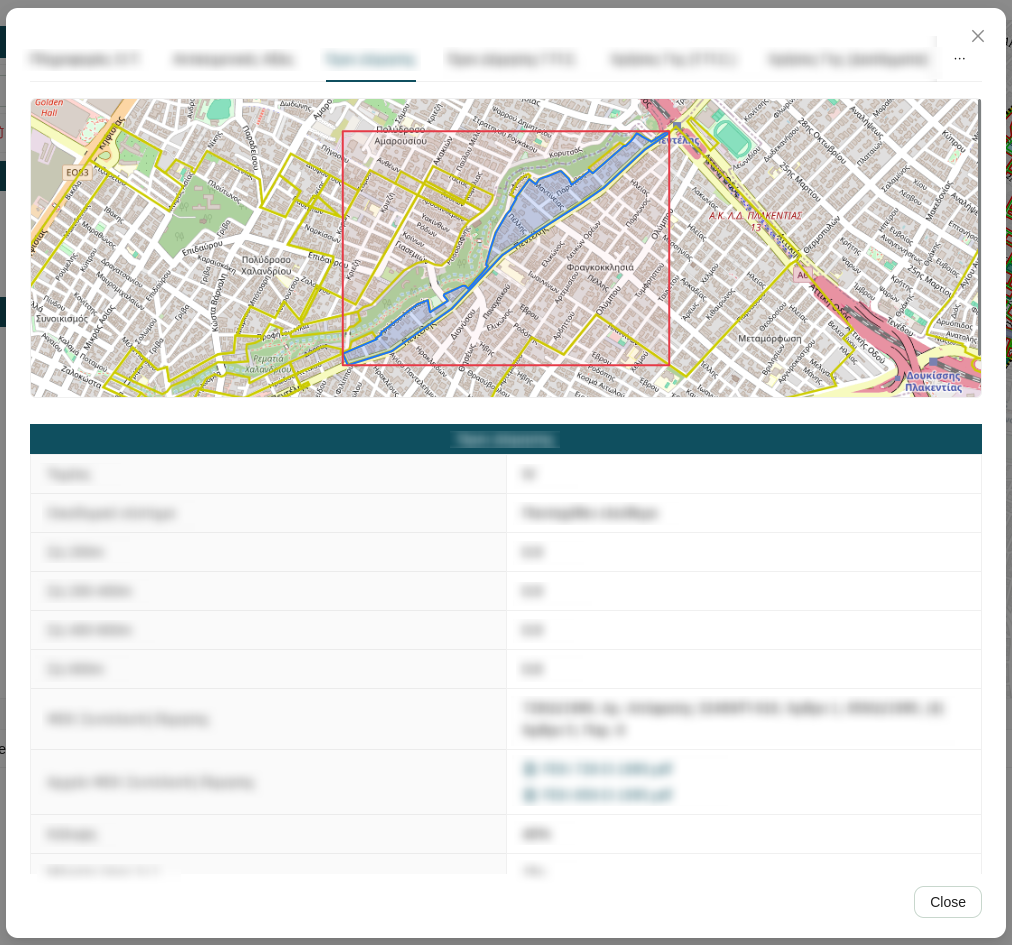
Collapse
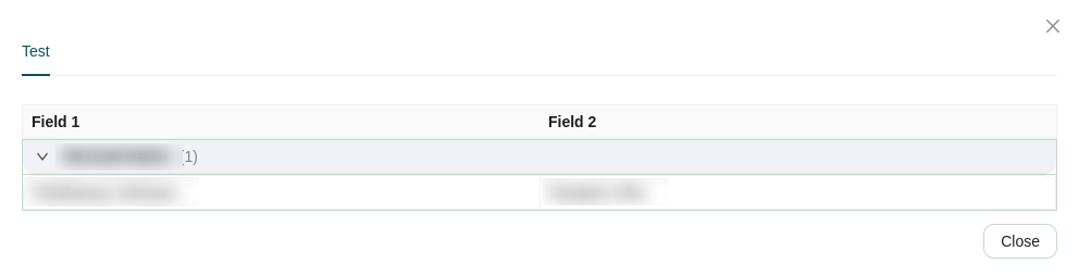
The Collapse visualization displays a map at the top of the modal, followed by a collapsible table below it. The table rows are grouped by an attribute configured by the administrators — for example, grouped by district, category, or status.
Each group appears as a collapsed row showing the grouping value. Click a group to expand it and reveal the rest of the attributes for the features within that group. Click again to collapse it.
Actions
In addition to the configured events, the contextual menu provides a set of standard map actions:
| Icon | Action | Description |
|---|---|---|
 |
Zoom in | Zooms the map canvas in by one level, centered on the clicked location. |
 |
Zoom out | Zooms the map canvas out by one level, centered on the clicked location. |
 |
Location info | Queries all active map layers at the clicked location and displays the attribute details in the Feature Info tab of the Attribute Table. |
 |
Google Street View | Opens Google Street View for the clicked location in a popup window. |
 |
360° Images | Opens the panoramic viewer for a 360° street-level image at the clicked location (see Show 360° Image Coverage). |